


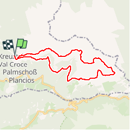


9.2 km | 14.2 km-effort

User


FREE GPS app for hiking
 SityTrail
IGN / Geographical institutes
SityTrail World
The world is yours!
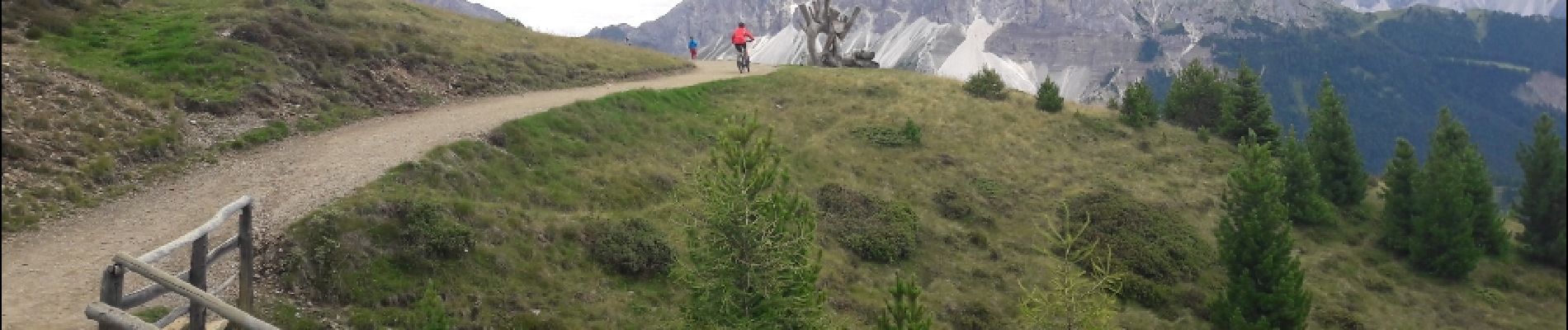
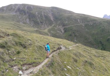
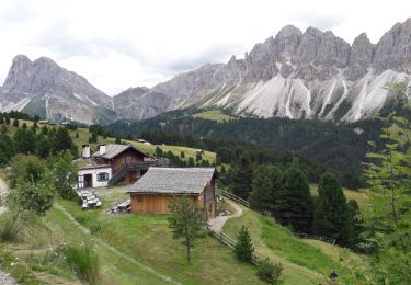
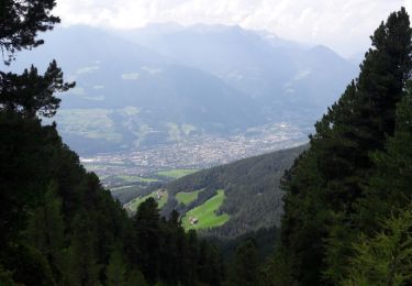
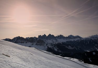
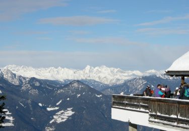
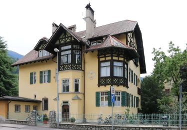
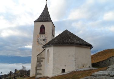
Trail Walking of 15.6 km to be discovered at Trentino-Alto Adige/Südtirol, South Tyrol, Brixen - Bressanone. This trail is proposed by VacheKiri67.
Faite le 25/07/2017 avec notre fils Théo de 12 ans.


50 photos in total. Please click on a photo to see them all in the gallery.
Walking
Walking
Walking
On foot
On foot
On foot
On foot
On foot

On foot
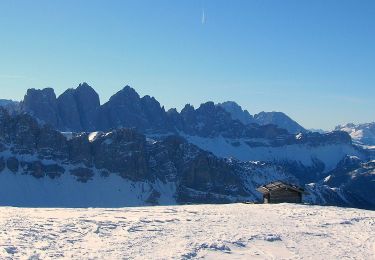
Super randonnée avec vue sur les Dolomites. Très bons chemins et balisages.